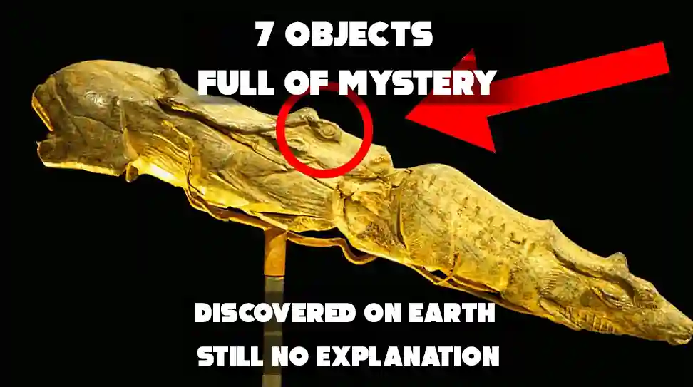

6. The Piri Reis Map
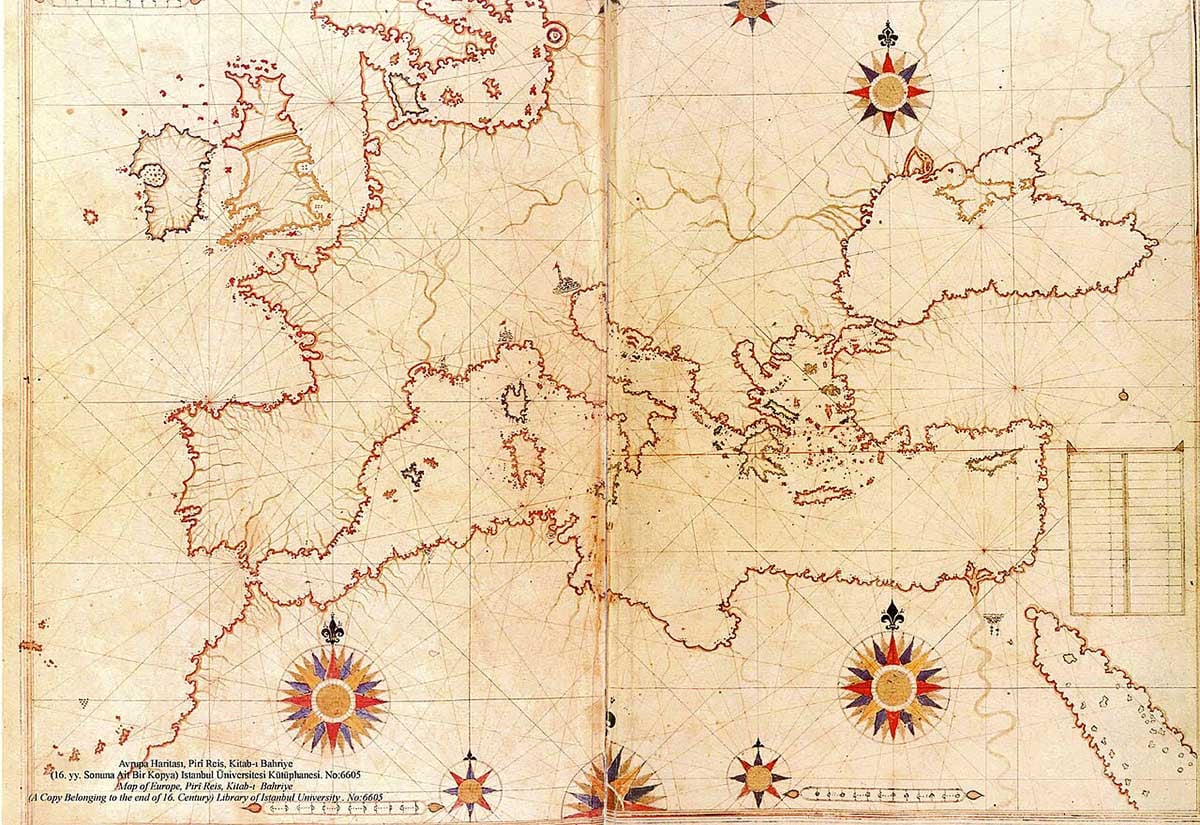
Drawn in 1513 by Ottoman admiral Piri Reis, this map accurately depicts coastlines of South America and Antarctica—long before the latter was officially discovered. Even more puzzling, Antarctica is shown without its ice cover, as it might have looked thousands of years ago. This raises questions about the map’s sources and lost global knowledge.